Overlay Capabilities
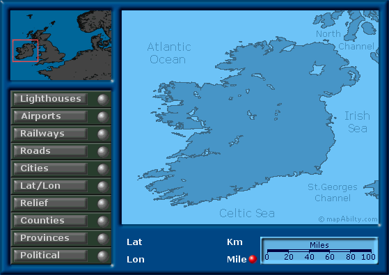
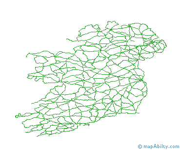
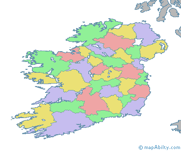
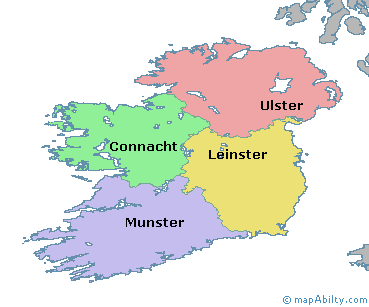
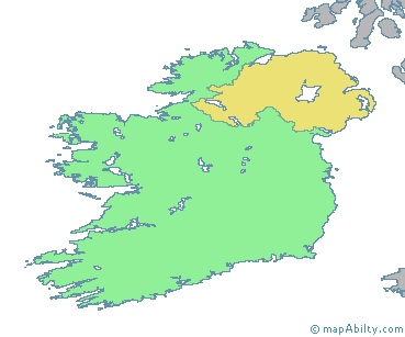
¤ This page contains an example of some Overlay Mapping features, in a layered map of Ireland.
Click here to select the
'Kilometres' scalebar.
Click here to select the
'Miles' scalebar.

| Thing_A | Thing_B |
| Thing_C | Thing_D |
| Thing_E | Thing_F |
| Thing_G | Thing_H |

 Capabilities
The above map shows just a few of the capabilities of Overlay Mapping, and how these techniques can present your data and maps in a whole new light, enhancing their value and providing easy accessibility to detail without the requirement for a full GIS map-server.
The display possibilities are pre-structured, but the client decides how to display your data within the framework that you have specified. Unlike with a GIS map server, you can be sure that your data is presented in the best way possible.
Points to Note
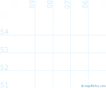
- Continuous position data is displayed in the Lat and Lon Boxes. This can also be adapted to show Distance, Bearing, or specialised Coordinate Information.
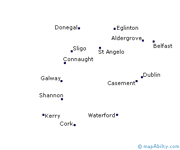
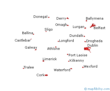
- Five of the overlays (political, counties, cities, airports, lighthouses) show popup text information in the upper left window as the cursor moves over an object on that layer.
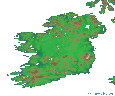
- Two of the overlays (provinces, relief) show popup graphics that turn off after a short delay. These popups can also be positioned near to the cursor - a useful technique where large maps are involved.
- Note how only the objects on the top-most layer, as indicated by the red light, show popup details, even though a number of overlays may be turned on simultaneously.
- To keep things simple, none of the objects have active links. However, this can easily be changed to lead the client to other areas of your website or CD distribution.
- Try turning on the two text overlays (cities, airports) at once. Note how the names never overlap, and in some cases even share the same position.
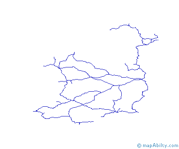
- See how, by comparing information on different overlays, you can learn new things from the data. For instance, turn on 'Relief', then 'Railways'. Note how the tracks avoid mountainous regions. The same applies to 'Airports'. Hold your cursor over each airport name, to check elevation.
- Overlays can be ordered to make the map more readable. For instance, turn on 'Lat/Lon' and then 'Counties'. A good idea can be gained of position, without the lines cluttering the display.
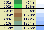
- Click on the 'Km' and 'Miles' buttons, to change the current units for the Scale Bar. Scales in a number of different units could be made available in this way, or could be interchanged with scrolling text and data tables.
If you are interested in any of the techniques shown, and want to discuss how your own maps and data can be presented in a similar way, please Contact us.
View another Demonstration
On the next page, you can view a complex demonstration of some of the capabilities of Overlay Mapping. Designed for the Radio Amateur community, this demonstration integrates 34 large maps to provide a complete multi-overlay resource display system.
Introduction
Ham Overlay Mapping
|