
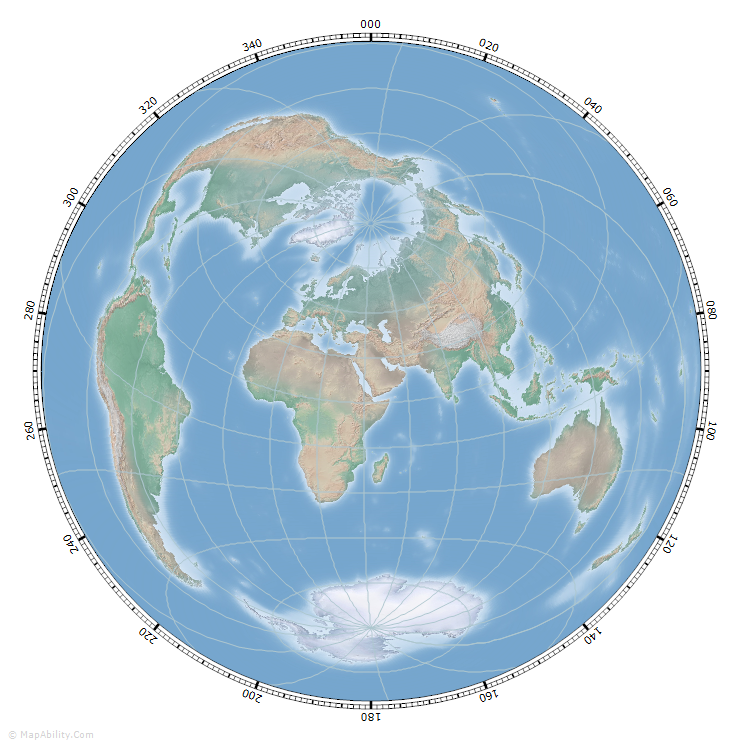
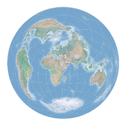
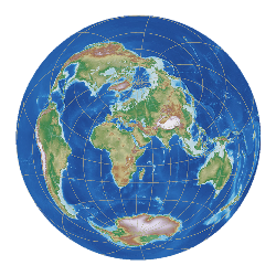
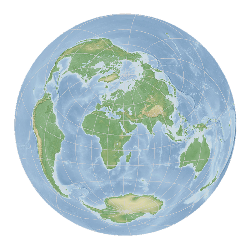
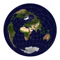
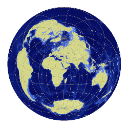
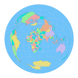
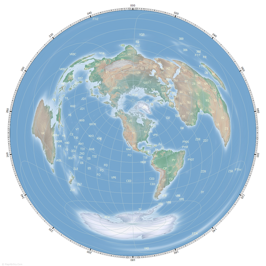
Great Circle maps, also known as Azimuthal Equidistant Maps, are especially useful to the Radio Amateur, Contester or DX Enthusiast as all points on the maps are at the correct azimuth (direction) from the center point: usually the location of the home transmitter or 'QTH'. They therefore provide a quick visual guide of the correct direction for antenna orientation, something that cannot be achieved with the normal Mercator-projection map that most people are used to seeing. A Great Circle map also has the useful property that all points on the map are at proportionally correct distances from the center point: this can be seen by adding Range Rings to a Great Circle Map. It is thus easy to estimate the distance from transmitting station to receiving station.
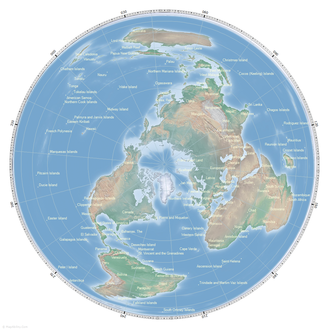
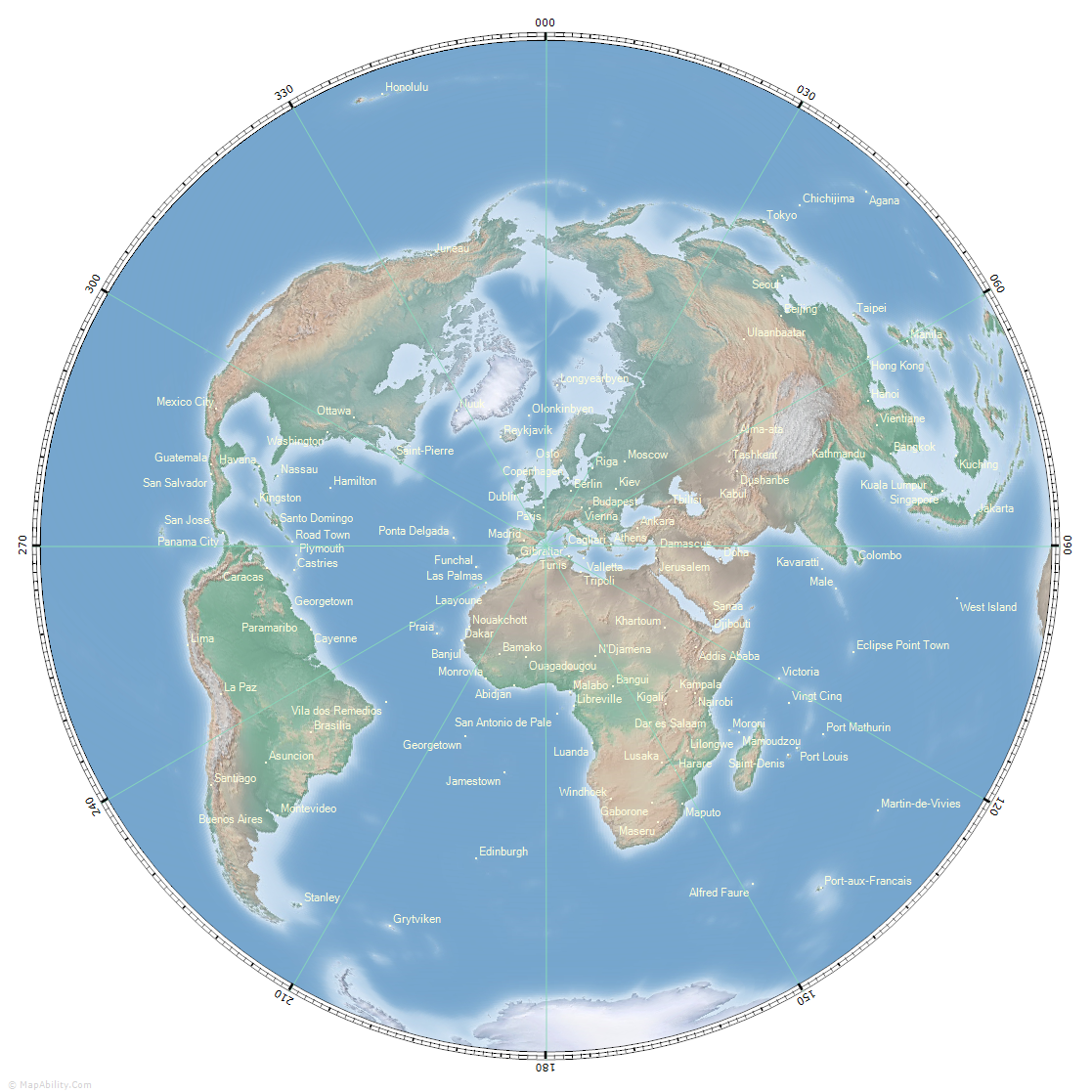
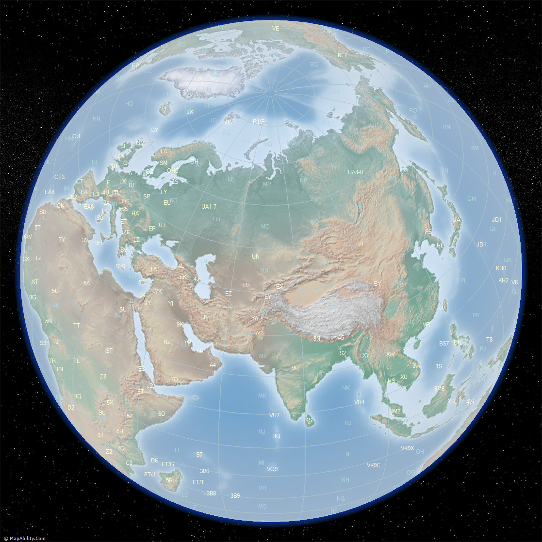
In addition, the amateur radio operator might like to see other items overlaid on the re-projected map: Prefixes, Country Names, Capital Cities, Grid Locators, and others.
There are a number of Great Circle Maps available on this site. Most of them are made with the Great Circle Mapper program: a standalone Windows mapping program for Radio Amateurs, Contesters, and Dxers that produces a range of unique and distinctive circular maps in 4 different projections, with user-controls for Gray Line information, Beacon Monitoring, Grid Locators, Magnetic Variation, Beam Direction Plotting, Antenna Coverage Plotting, Callsign and Amateur Radio Country Lookup, Prefix and DXCC-Country Labels, plus other database facilities.
Here you can find Great Circle Maps with Prefixes for a selection of major cities: Agana, Guam, Beijing, China, Berlin, Germany, Brasilia, Brasil, Canberra, Australia, Cape Town, South Africa, Colombo, Sri Lanka, Dublin, Ireland, Hangaroa, Easter Island, Honolulu, Hawaii, Juneau, Alaska, London, UK, Madrid, Spain, Mexico City, Mexico, Moscow, Russia, Nairobi, Kenya, New Delhi, India, Oslo, Norway, Ottawa, Canada, Papeete, French Polynesia, Praia, Cape Verde, Reykjavik, Iceland, Rome, Italy, Santiago, Chile, Singapore, Stanley, Falkland Islands, Tehran, Iran, Tokyo, Japan, Ulaanbaatar, Mongolia, Washington, USA, Wellington, New Zealand.
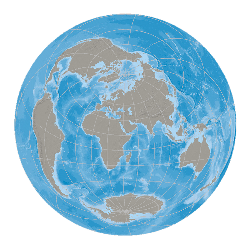
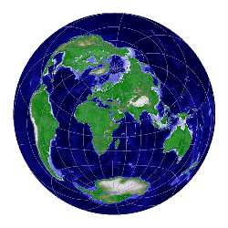
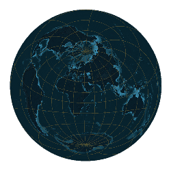
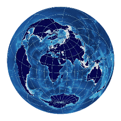
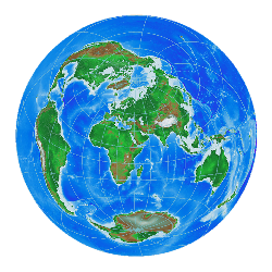
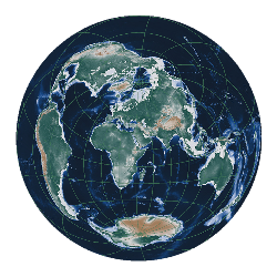
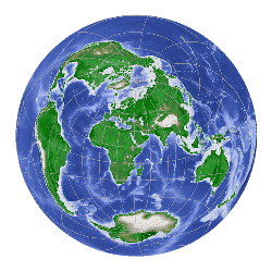
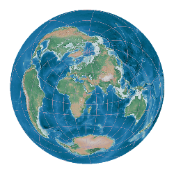
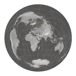
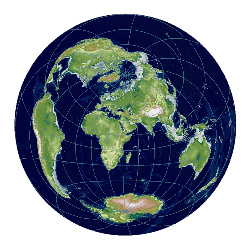
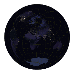
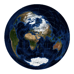
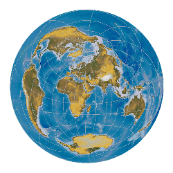
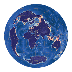
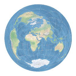
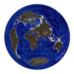
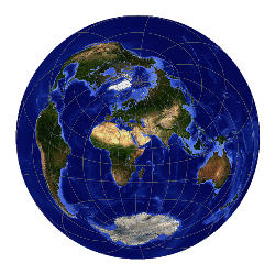
The Great Circle Mapper program shows maps in 4 different projections: Azimuthal Equidistant (aka Great Circle), Lambert Azimuthal Equal Area North and South (for Arctic and Antarctic views), and Orthographic (aka The World from Space). Maps are created using 23 different Background Maps. Click any below to see other examples:
|