 |
UI-View APRS Maps
Home > APRS Maps > UI-View |
|
• This page contains a number of continental and sub-continental maps for use with UI-View
|
 UI View APRS Maps UI View APRS Maps
The UI-View program, created by Roger Barker G4IDE, is an APRS application for Windows with many features. It works with most TNCs, including TNC emulators, and allows up to 16 RF ports to be used. UI-View has a full-featured internal intelligent digipeater, and has full support for connecting to APRS servers on the internet.
UI-View uses non-projected bitmap images for its maps. Each map needs an associated .inf file, that tells the progam how to use the map. There are a number of free maps and inf files available on the internet for use with UI-View, and a quick search will find many sites.
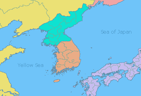
I have made available 6 continental and 27 sub-continental outline maps that you also might like to use. Each map is in gif format, and shows colored country areas with province outlines and minimal text. Here is a small clip, as an example..
To get the maps click on the links below...
You can also get all the maps in one zipfile here (1143KB).
I spend a lot of time creating maps and other resources for the Ham-community, all of it unpaid. If you enjoy using my maps, and would like to make a donation towards this site, please click the button below. Your donation is most welcome, and will go towards my site costs, and hardware/software upgrades.
|
| |